Population:
20.804 (2020)
Flag:

Location: 22 km from the coast
Elche: 9 km
Airport Alicante: 22 km
Murcia: 62 km
Torrevieja: 55 km
Aspe in a nutshell:
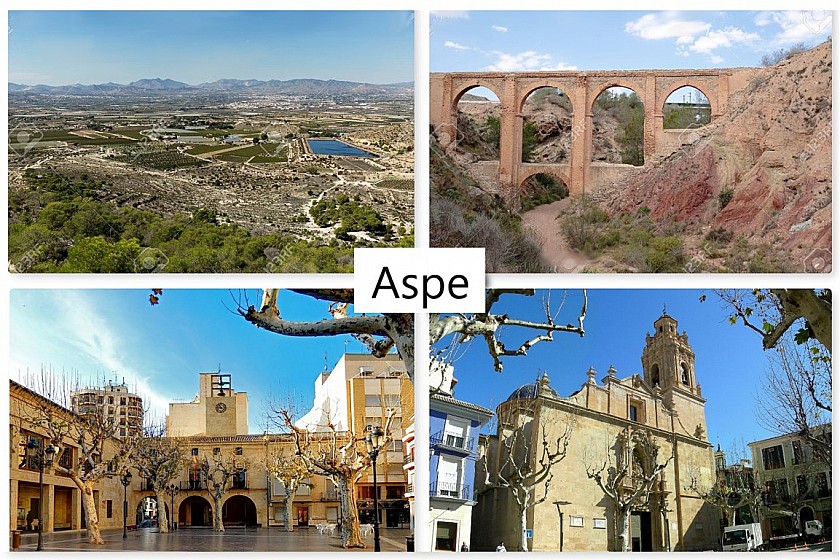
The town of Aspe, located in the valley of the Vinalopó river, a short distance from major cities such as Elche (9 km) and Alicante (22 km) has the identity of a municipality with strong Moorish influences from a distant past, a wealth of varied culture and a natural landscape that invites to long walks. Its location in this natural corridor of the Vinalopó river, which connects the interior with the coast, is undoubtedly an important reason why many foreigners have now bought a house there. The urbanisations that have been set up around the town have until now mainly attracted British and Dutch. Nevertheless, Aspe is and remains a quiet, typically Spanish town where newcomers can largely keep to the Spanish relaxed pace of life. The arrival of foreign home buyers has hardly affected the balance between the original population and the new recruits, because 90 percent of the inhabitants in Aspe are still of Spanish origin.
Aspe is a town with an old core, which was developed in Moorish times and therefore does not have a logical street pattern. Many interesting buildings can be found in the largely car-free center. The town is also more than average endowed with parks, cozy squares, churches and other buildings with a long religious background.
As in so many old towns in the province of Alicante, the past has left many traces in Aspe. Petroglyphs in two caves date back to prehistoric times, some 40,000 years ago. The Bronze Age (from 3000 to 800 BC) was a period when there was much more activity in and around Aspe. Many finds have been made in Tabaya and Muron de la Horna, which are among the most important in the province of Valencia. Then came a period when the Iberians held sway. They formed a small community three kilometers from the town at the River Castle. They renamed their village Aspis. After them came Roman rule and the community moved to its present location under the name Laspis.
Muslim rule lasted from the 8th to the 17th century and brought some achievements that are still visible today. The Moors introduced a for that time advanced irrigation system with canals, which gave a strong impetus to agricultural activities. The Aljou and Fauqui ditches are a lasting reminder of those ingenious improvements. However, the booming sector collapsed when the defeated Moors were forced to leave the country and almost no one was left in Aspe. It paralyzed not only the agricultural sector, but virtually all other economic activities.
It was only when city officials offered free land to new settlers that the town was slowly revived. Since then, the local economy has relied on a multitude of activities. The agricultural sector remains important, but also supply companies for shoe factories, rubber, plastic and furniture companies and, since the last decades, the construction sector and tourism all contribute to the now healthy local economy. In the form of the Mercado de Asbastos, Aspe even has one of the most important food markets in a wide region.
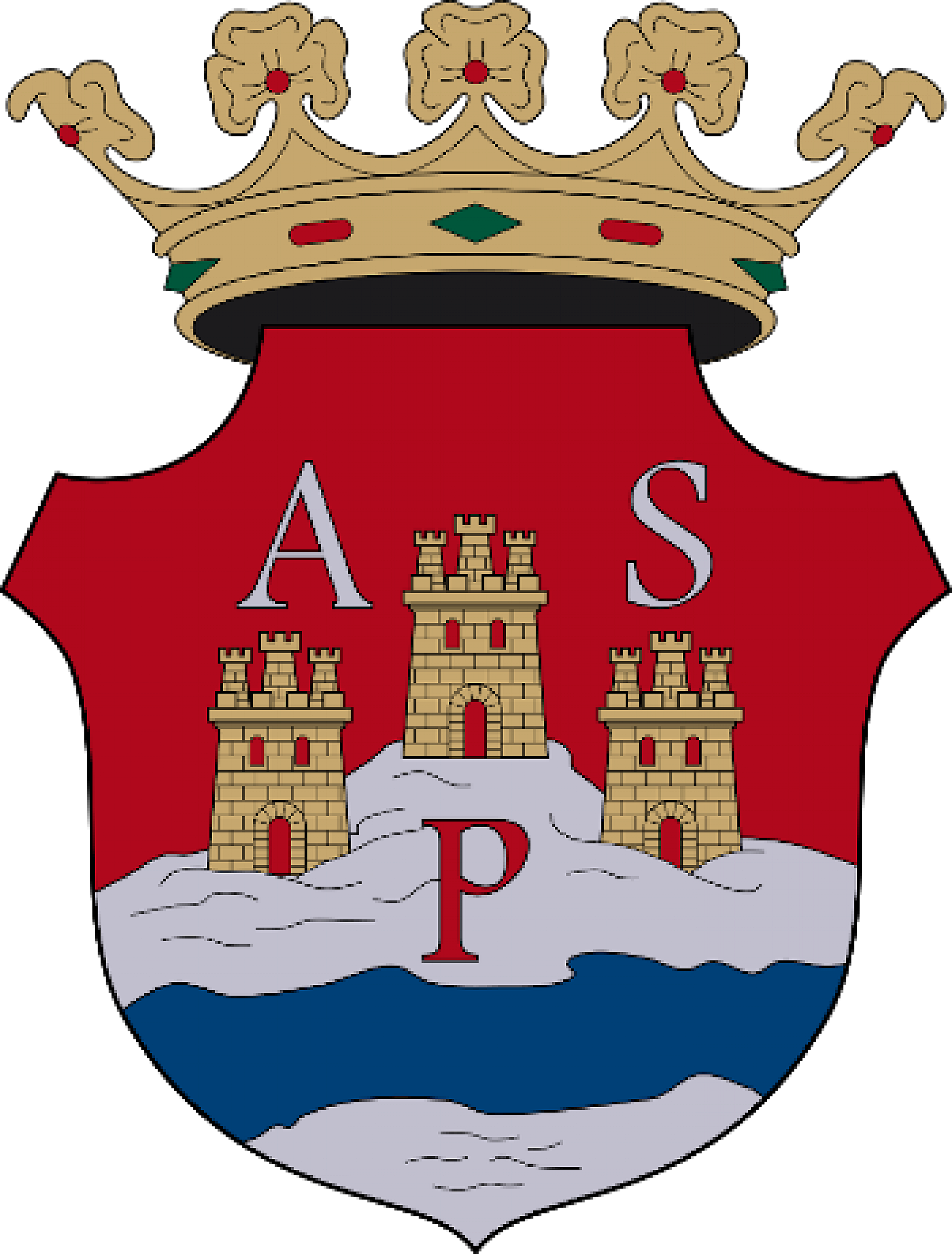
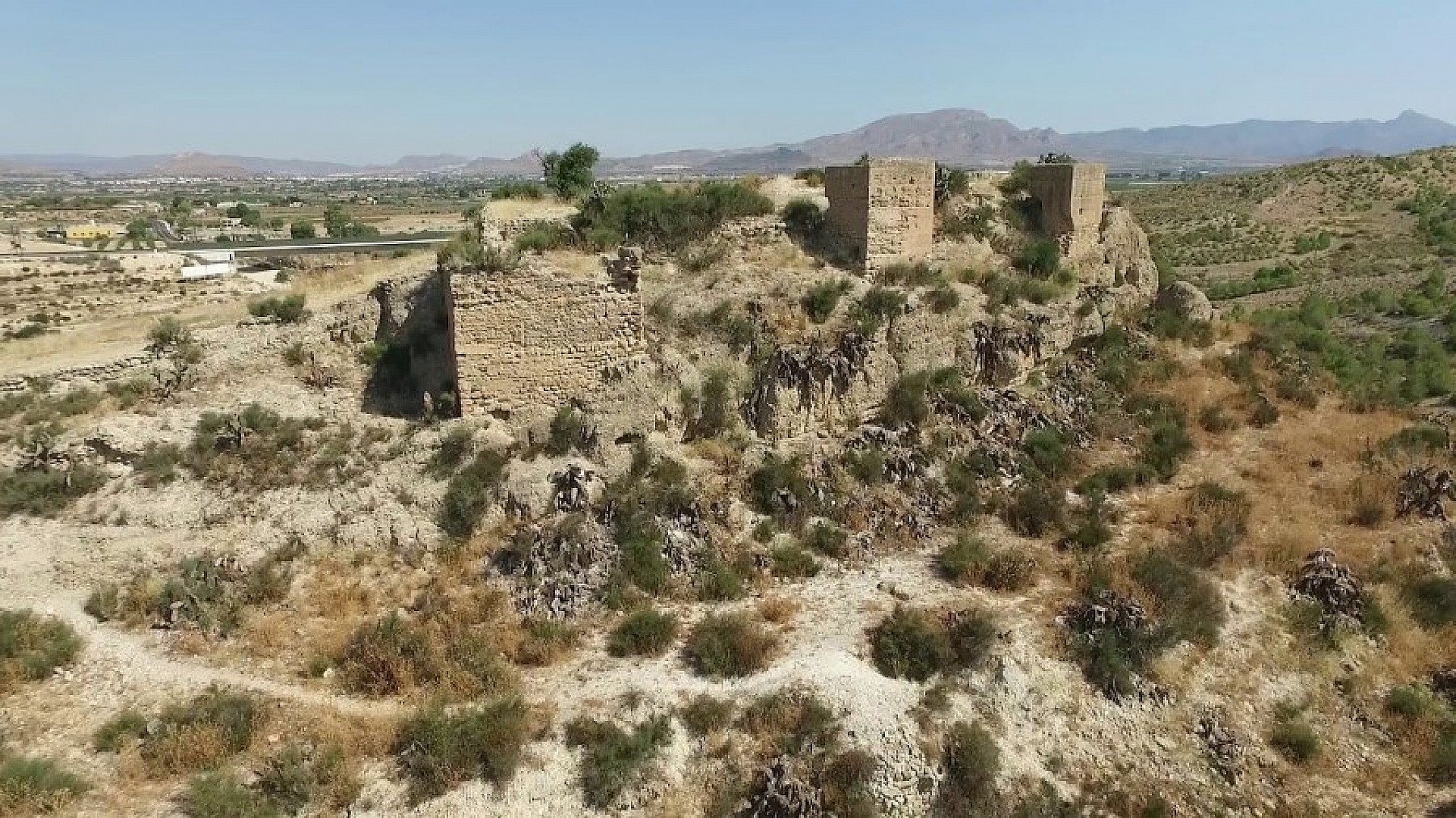
As a visual symbol for the city on both the flag and the coat of arms, an image of three castles has been chosen. These played an important role in Aspe's history. Of those three, only a fair amount can still be seen of the River Castle. Parts of the walls, the base and several of the initially twelve towers are reasonably well preserved. Dating from the late 12th century, the castle was a well-protected Moorish fortress and is within easy reach for those interested.
Much less remains of the Aljau castle. Some walls are still standing, but much more is not visible. This castle was built in the 15th century on a small hill in defense of Aspe. The remains were only found by chance in 2009 during work on a new road. Nothing has ever been found of the Calvary castle, also built in the 15th century. It is only known that it must have been somewhere on the west side of the town.
The old town center with its Moorish characteristics and narrow streets, which have been developed according to an illogical but therefore charming pattern, is a good starting point to get to know Aspe. The most central point is the Plaza Mayor. This is a logical meeting point for many. The large square has large trees that provide shady seating. The Plaza is also where many of the annual festive activities are at their peak.
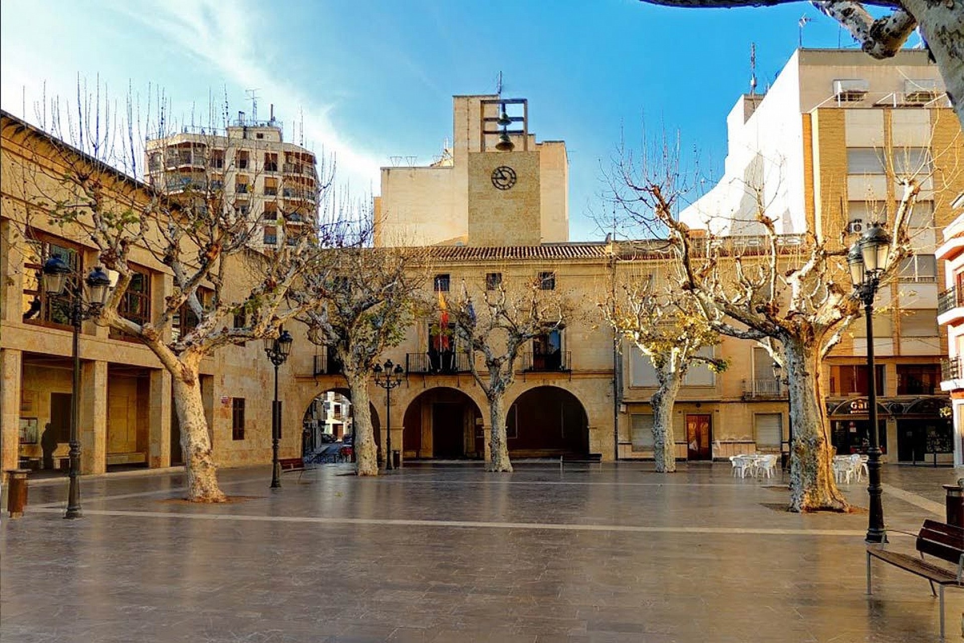
Two buildings dictate the relaxed atmosphere here in the heart of Aspe. The basilica Nuestra Senora del Socorro is the number 1 attraction. This beautiful prayer house from the early 1600s was built in Baroque style. Most eye-catching is the clock tower. The importance of the church to Aspe was underscored in 2006 when the Pope awarded it the desirable status of a mini basilica. Another eye-catcher on the Plaza is the old town hall, which was built in Baroque style in more or less the same period.
Wandering through Aspe with its many squares and parks one comes across a series of other interesting buildings, such as the regionally popular covered Asbastos market. The epicenter of cultural life is on two adjacent amenities. The Wagner theater was reopened to the public in 1995 after a thorough restoration. It seats 550 and regularly hosts exhibitions, theater performances and concerts. Next to it is the Alfredo Kraus auditorium with a capacity of 1,000 seats. Many performances are given in this open air theater during the warmer months.
What makes Aspe different from most other municipalities is the care and energy that has been devoted to the development of informative routes. Two other routes are undoubtedly interesting for tourists, in addition to routes along sports facilities and educational institutions. The parks route is 7 kilometers long and takes you past the abundance of parks in Aspe. A route of 5 kilometers has been set out for the so-called pilgrimage route. This leads the walker past churches, chapels and the many tributes to local saints. For all routes, even the average time and the estimated calorie consumption are indicated.
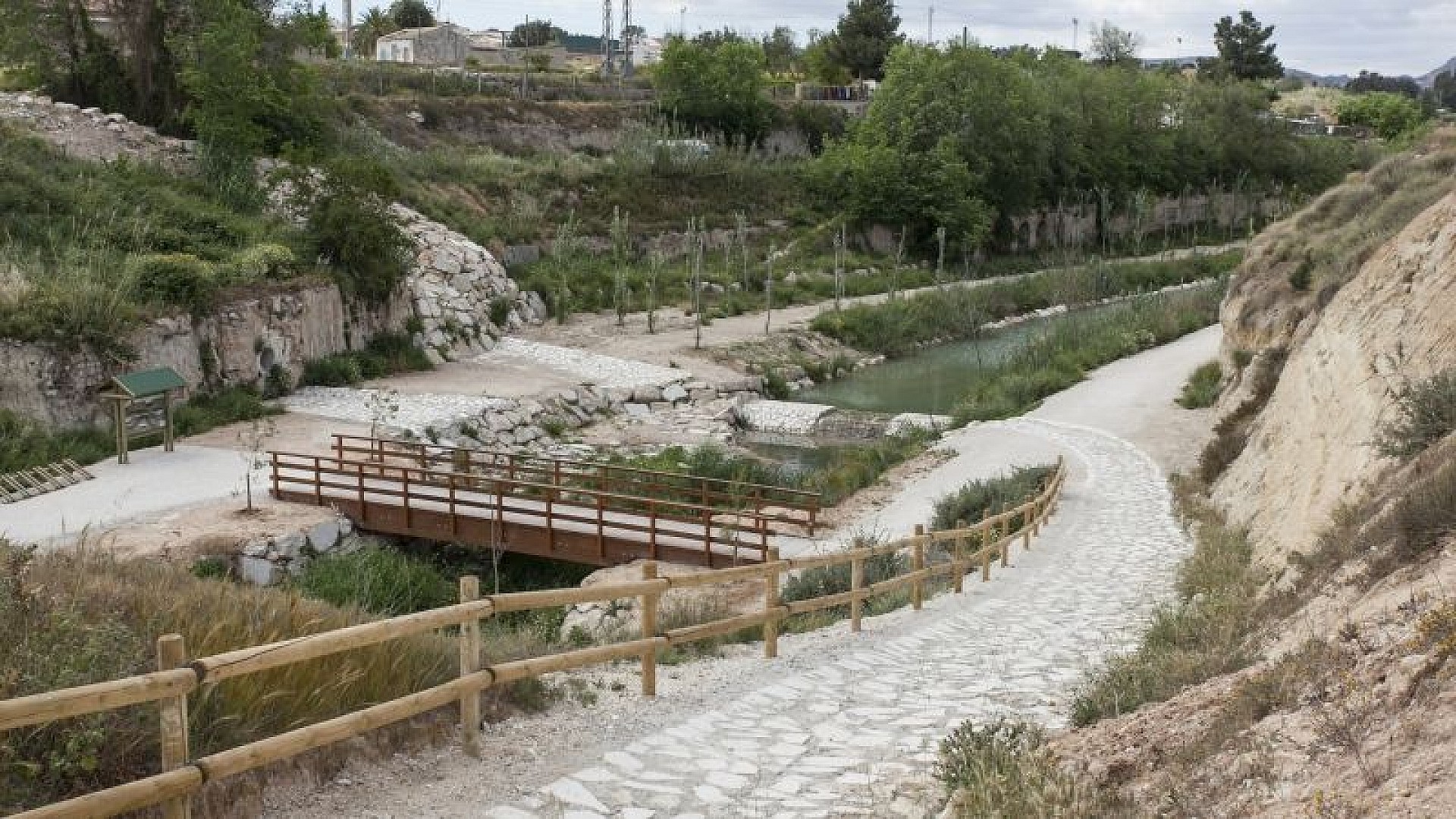
A different kind of walk follows the course of the Tarifa river, which crosses the city. This route can easily be described as a trip through a three-kilometer-long open-air museum. It tells the story of the ancestors' ingenious attempts to use every available drop of water from the river. Hikers will see how hydraulic systems were developed to collect and then distribute water across the often arid agricultural area. The dams at the higher points of the river course and an extensive network of irrigation canals as well as three aqueducts, drainage tunnels, the old Puente del Baño bridge and ruins of old mills provide the overall picture of the effort. During the walk, lush vegetation with many poplars and elms testify that these attempts were not in vain.
Water plays a vital role in the story of the natural landscape that surrounds and blessed Aspe. First of all, the location along the middle part of the Vinalopó river has an important function, because it guarantees a great variety of flora and fauna. In addition, the Tarafa River, the main tributary of the Vinalopó, cuts through the town and provides a very diverse river ecosystem. The Tarafa River has also largely determined the way Aspe was set up and the street pattern developed.
In the Sierra de la Ofra, the municipality has one of the best preserved wooded areas. At the foot of the hill, visitors can enjoy a recreation area amid the many pine trees. As mentioned, Aspe has a variety of ecosystems thanks to the abundance of water in the area: from mountains to agricultural zones and from rivers to ravines. Visitors are always surprised by the rapidly changing range of flora and fauna. That also explains why many bird watchers like to come to Aspe. The town has one of 69 organizations in Spain where birds are ringed structurally. A major project has been underway since 2002 to gather as much information as possible about the bird populations in the area around the Vinalopó River and their migration behavior.
Aspe has put a lot of time and energy into promoting the natural wealth in and around the city. The tourist office devotes extensive attention to a series of walking routes in the immediate vicinity in leaflets and folders. All six routes in the protected area of Los Algezeras are well signposted. Hikers are informed in the leaflets about the specific points of interest along the way, the length of the route and the level of difficulty. The routes vary in distance roughly from 5 to 15 kilometers. An interesting route of over thirteen kilometers has been mapped out especially for horse riders.
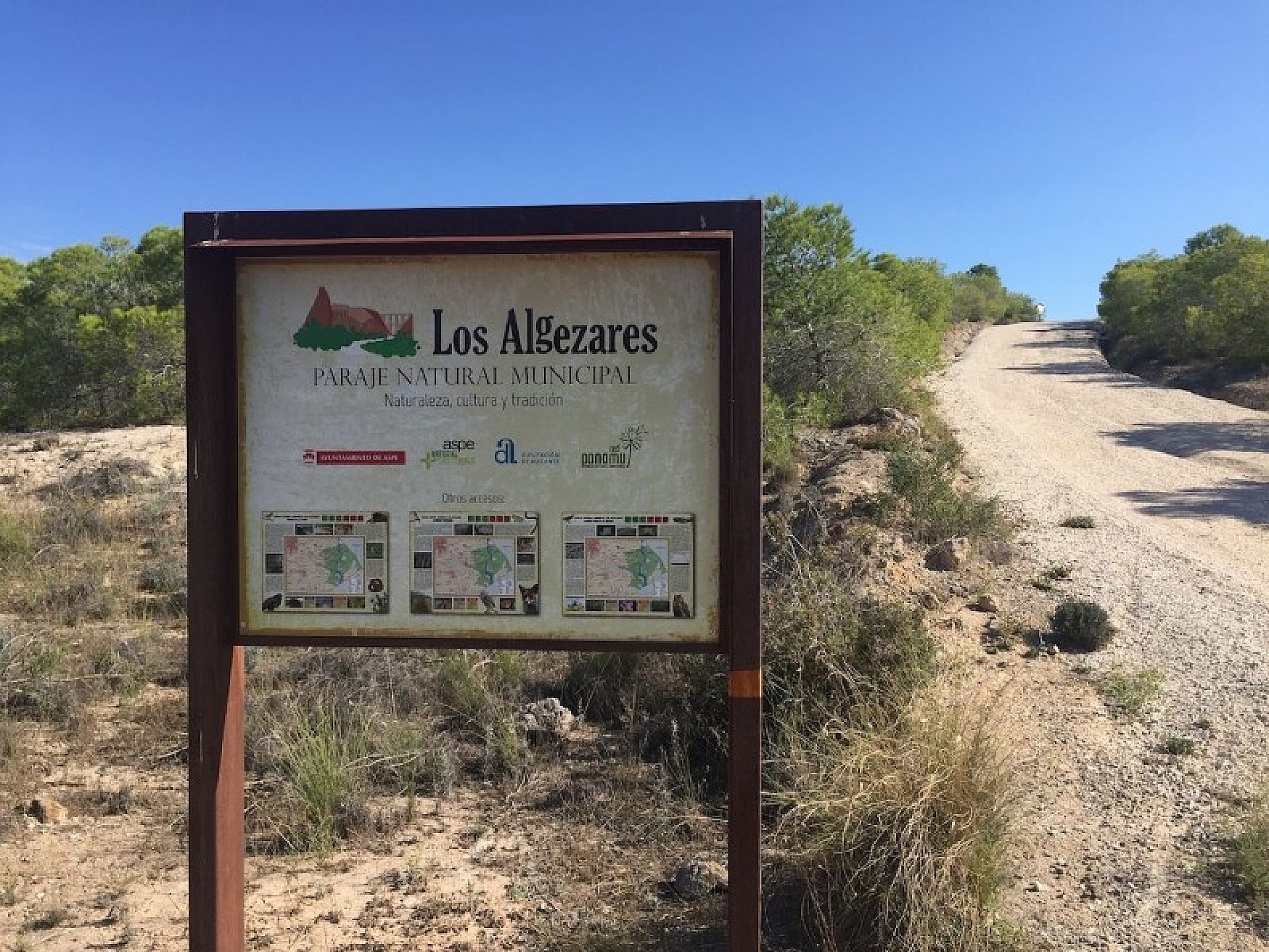
Los Algezeras has since 2013 the protected status for this large nature reserve of 507 hectares. In doing so, not only the importance of the natural beauty has been taken into account. The countless cultural and historical elements that can be seen during the walks are also of interest.
The combination of a dry area with rather fragile soil layers, which quickly erode after rainfall, has formed a landscape full of gullies and ravines over the centuries. The height differences have also brought great differences in vegetation and also animal life with them. Many desert-like plants and groves grow in the hills, as well as olive and pine trees. The vegetation in the ravines is significantly more lush. But during the walks you will also come across the remains of old grain mills, a castle, water works, small religious buildings and farms
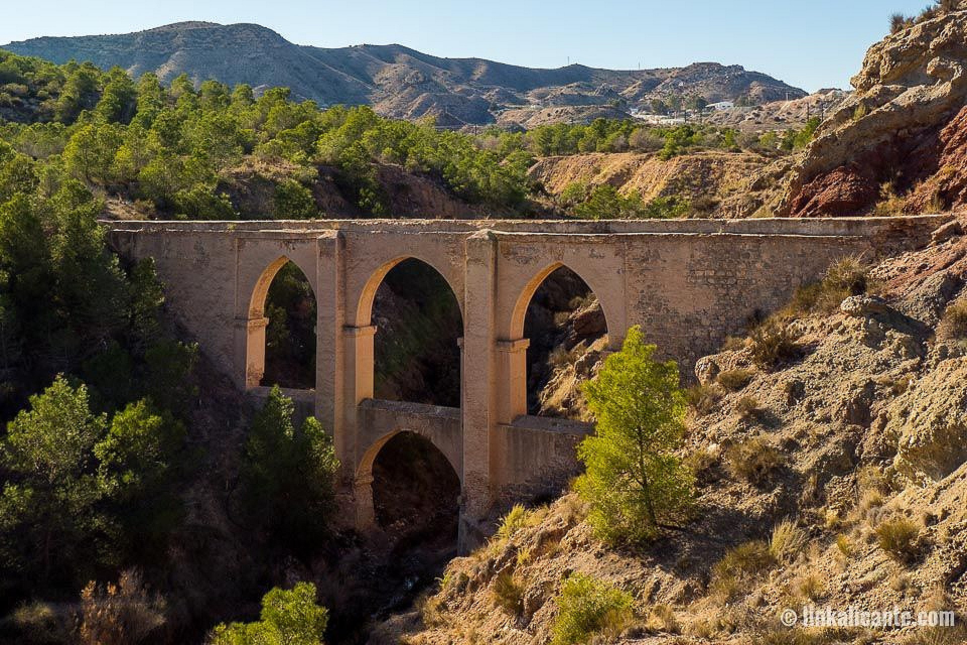
Very eye-catching is the 'Bridge of the five eyes'. This is an impressive aqueduct that was built at the end of the 18th century. It was intended to provide water to the then rapidly growing Elche. That had to be supplied over a length of fifteen kilometers. This hydraulic feat is also interesting from an architectural point of view. The bridge is 17 meters high and 46 meters long.
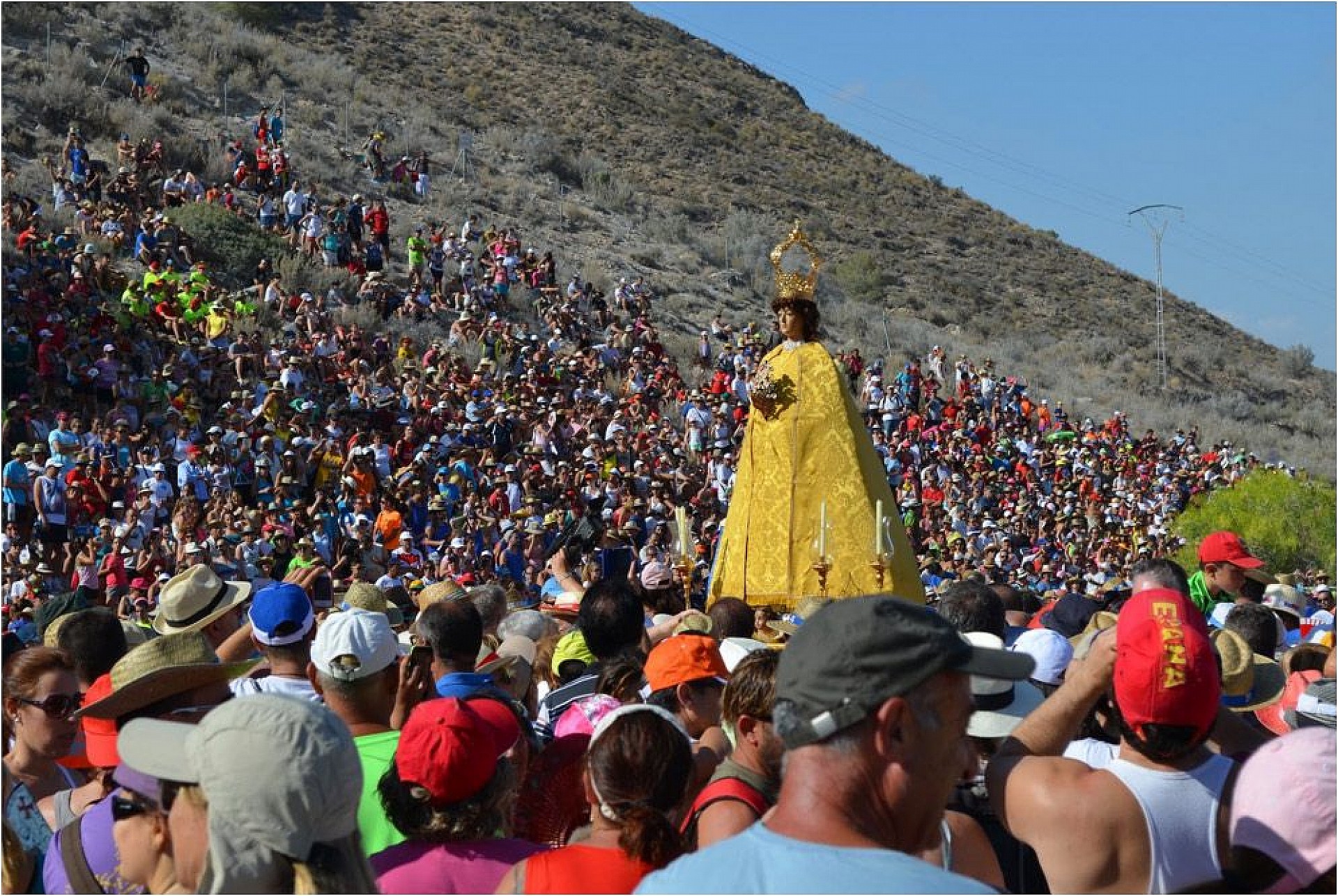
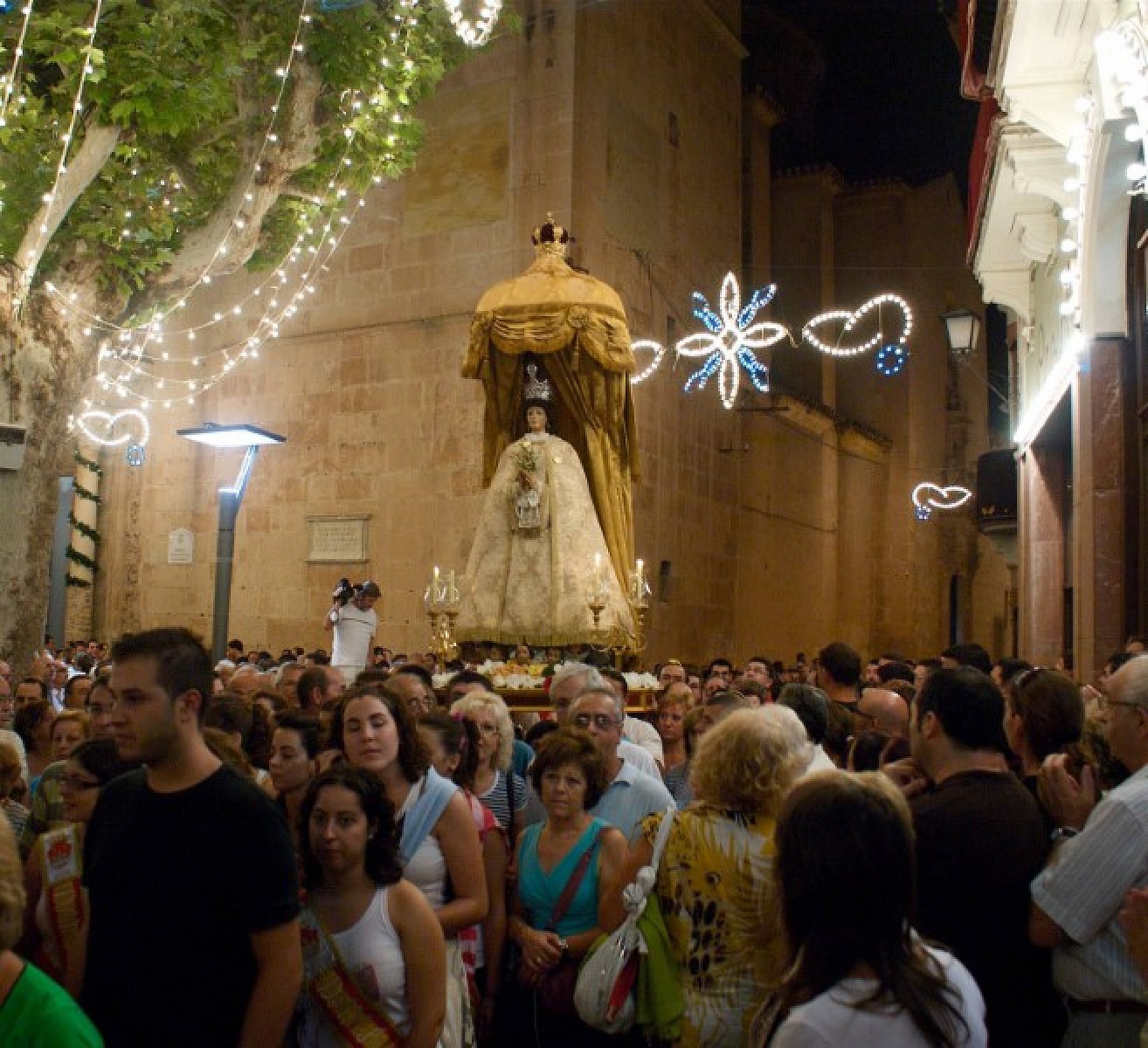
As the market is dedicated to the Virgin de la Salud, there are also many religious activities, including a procession in her honor.